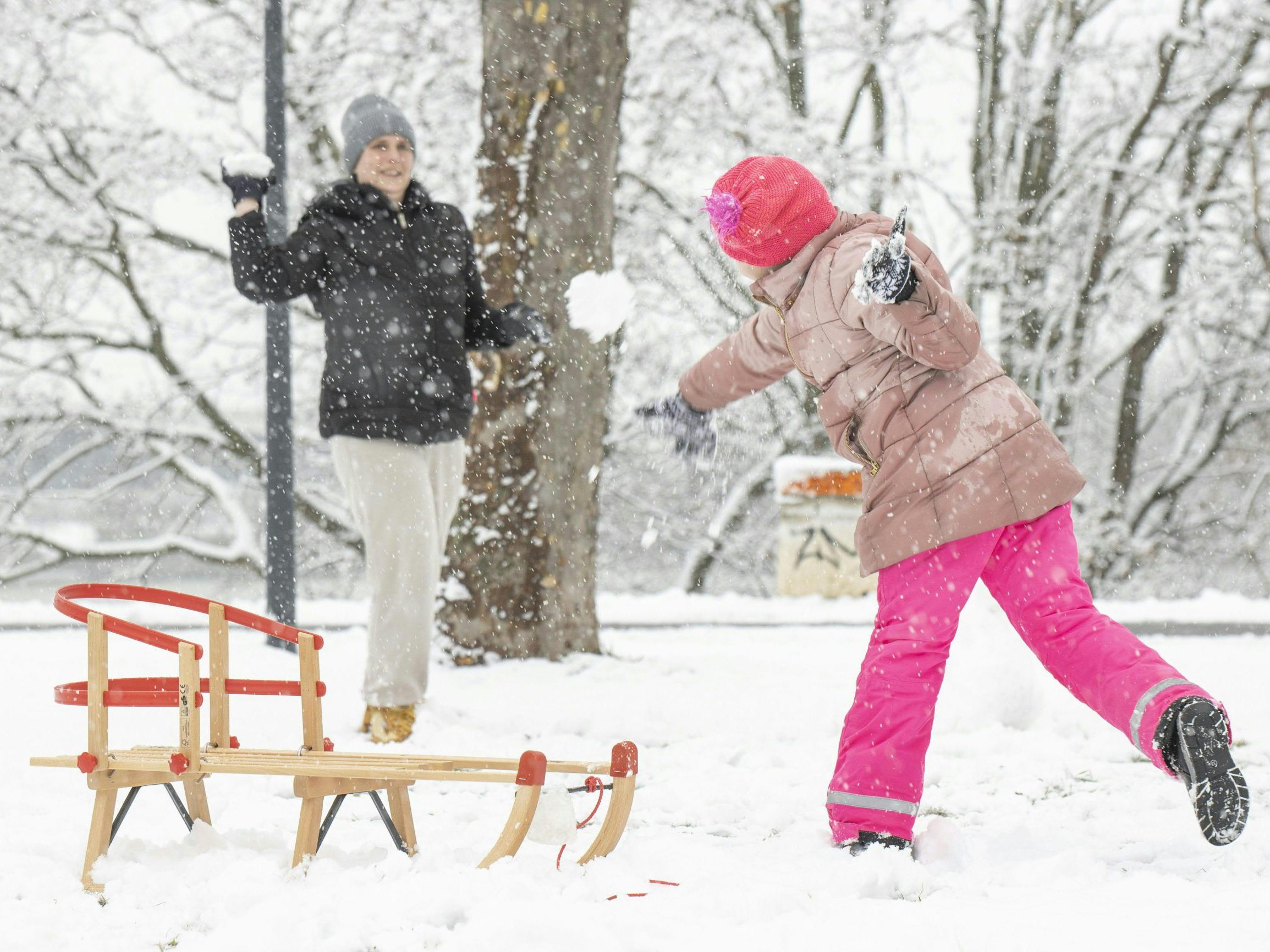
Austria has favourable prospects for a white As predicted by the experts at Geosphere Austria, a low-pressure area will already cause - even heavier - snowfall in the west on Monday, and on Christmas Eve on Tuesday, it should also snow sporadically in the eastern lowlands.

White Christmas in Austria After All? Here Are the Odds
19-12-2024, 16:04
In the first half of the day on Friday, it is generally overcast and it snows especially in the mountainous regions down to lower altitudes. In the north and east, raindrops are mixed in below about 500 meters above sea level. In the second half of the day, the precipitation subsides and the clouds particularly clear up in Upper and Lower Austria. The early temperatures range from minus three to plus five degrees, the maximum daytime temperatures from two to eight degrees.
Weekend is Mild
On Saturday morning, there are still local fog fields, otherwise the sun is shining widely. Only in the west are there already cloud fields. These spread out to the east during the day and sunny periods become less frequent, but it remains sunny in the south and southeast. The wind blows weak to moderate, in the Vienna Woods sometimes lively from southwest to west. The early temperatures are between minus seven and plus two degrees, the afternoon temperatures between two and eight degrees.
South of the main Alpine ridge, there are regional clearings on Sunday at first, otherwise the weather is predominantly cloudy all day with snow and rain during the day, and snowfall above 800 meters to 1,100 meters. Between East Tyrol and Southern Burgenland as well as in the inner Alpine region, there is also a temporary risk of freezing precipitation on frozen ground. Early temperatures range from minus eight to plus two degrees, the maximum daytime temperatures from plus two to six degrees.
Repeated Snowfall on Christmas Eve Across Austria
Under the influence of low pressure, another precipitation band reaches Austria from the west on Monday, with heavy snowfall along the northern side of the Alps. In low-lying areas, the snowfall sometimes turns into sleet or rain. By the evening, the precipitation spreads to the eastern edge of the Alps. Before that, it is precipitation-free and variably to heavily cloudy in the east and south. Early temperatures: minus five to plus two degrees, maximum daytime temperatures: one to six degrees.
On Christmas Eve on Tuesday, Austria is located between a low-pressure complex over the Black Sea and the Aegean and a high center over the Bay of Biscay in a cold, northern current. This means that it snows repeatedly along the northern side of the Alps between Vorarlberg and the industrial quarter, and it snows heavily during the day in the northern precipitation areas. Especially in the afternoon, individual snow showers also fall in the eastern lowlands. The early temperatures are between minus five and plus one degree, the maximum temperatures between minus two and plus five degrees.
(APA/Red)
This article has been automatically translated, read the original article .


