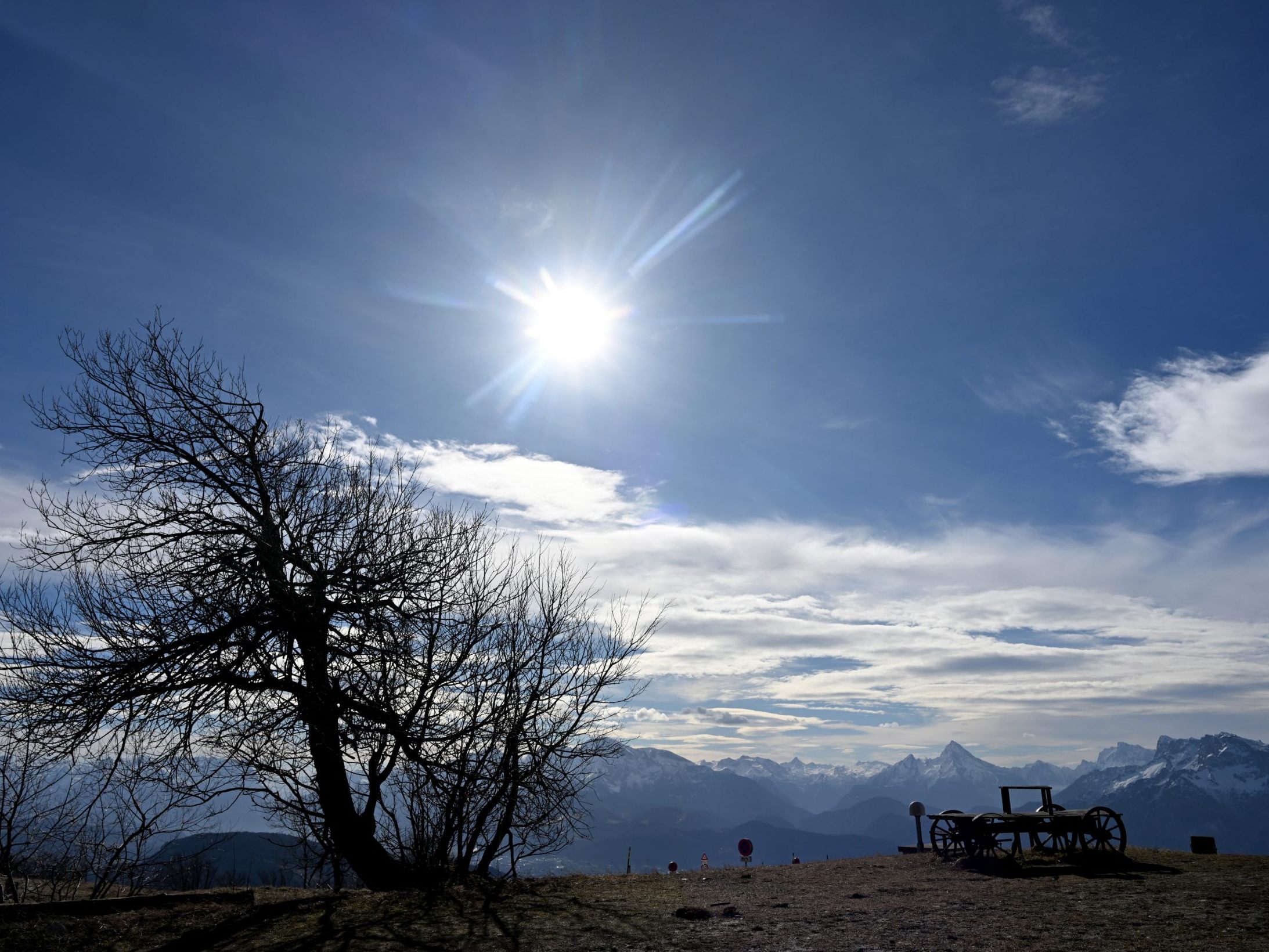
On Friday, high pressure continues to determine the weather. In the mountainous regions, the weather is mostly very sunny, but in many basins and valleys, as well as in the east and southeast, persistent fog or high fog fields must be expected. The wind is weak, moderate in the Danube region and in the northeast, blowing from east to southeast. Early temperatures range from minus eleven degrees to minus one degree, the maximum daytime temperatures from minus two to plus seven degrees.

Weather Will Be Milder Again Next Week
12-12-2024, 12:00
A slight disturbance on Saturday brings dense clouds to most of the country and causes snowfall and sleet in the west and southwest, especially in the southern barrier locations. The wind is predominantly weak to moderate from south to west. In the Vienna Woods region, it picks up at times during the day. Early temperatures are between minus nine and zero degrees, the maximum daytime temperatures between minus one and plus five degrees.
With a disturbance, it will be mostly cloudy on Sunday and it will rain and snow widely on the northern side of the Alps. In the afternoon, the cloud cover loosens up a bit in the northeast. In the south, however, it is loosened up all day, so the sun shows up here in sections. The wind is weak to moderate, lively in the north and east as well as along the main Alpine ridge from west to northwest. The temperatures in the morning reach between minus seven and plus one degree, the maximum daytime temperatures between minus one and plus eight degrees.
Warm Front Reaches Austria
On Monday, a warm front brings many clouds with rain and snowfall, especially north of the main Alpine ridge. The snowfall limit rises rapidly from about 600 to 1,500 to 2,000 meters above sea level. South of the main Alpine ridge, the sun also shows up with changing cloudiness. In the afternoon, it clears up in the west and south, while the rest of the country remains densely clouded. The wind is mostly moderate to lively from west to northwest. In the east, the wind is strong, especially in exposed locations. The early temperatures are between minus six and plus two degrees, the maximum daytime values between two and eight degrees.
With high pressure influence, it will often be sunny in the west and south on Tuesday. Between Salzburg and Burgenland, residual clouds initially persist, from which it can rain at times. In the afternoon, the cloud cover also loosens up here and the sun shines regionally. The wind is mostly only weak to moderate, still lively in the north and east, from western directions. The early temperatures range from minus two to plus seven degrees, the maximum daytime temperatures between six and ten degrees.
(APA/Red)
This article has been automatically translated, read the original article .


