




Vienna: New Cycling Map Shows the Most Beautiful Routes on the Left of the Danube
1-10-2026, 10:00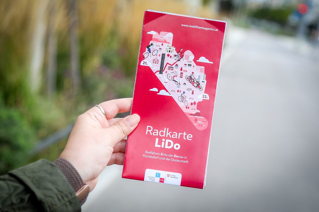
The cycling network in Vienna continues to grow – especially in the two districts on the left bank of the Danube. With the new LiDo cycling map, the Vienna Mobility Agency, along with Floridsdorf and Donaustadt, aims to provide a better overview of the numerous existing and new connections.
Since the start of the major cycling path initiative in 2021, more than 100 kilometers of new cycling paths have already been implemented in the main cycling network, according to the City of Vienna. Additionally, there are 50 kilometers in the district network. Another 12.5 kilometers are announced for this year.
The offering is particularly extensive in the two districts on the left bank of the Danube. The joint cycling network of Floridsdorf and Donaustadt comprises more than 500 kilometers.
A particularly large project is the Northern Cycling Highway on Wagramer Straße. The connection runs for a total of around seven kilometers from the city center via Praterstraße and Lassallestraße to Kagran.
A more than four-meter-wide two-way cycling path was created on Wagramer Straße. At the same time, around 8,000 square meters of space were unsealed and more than 100 new trees were planted.
A so-called street park was also established over a length of 250 meters.
In Floridsdorf, several new cycling connections have already been implemented or are still under construction.
These include Floridsdorfer Hauptstraße, Prager Straße, and Angerer Straße.
On Leopoldauer Straße, one-way cycle paths with a total length of 1.2 kilometers have been constructed on both sides. Additionally, 17 new trees have been planted there.
Another important cycling path project is currently underway on Brünner Straße.
The free map is intended not only to show the way from A to B. It depicts the main cycling network and district cycling network and particularly highlights newly created, structurally separated cycling connections.
Additionally, it includes important points of contact for everyday cycling:
The map is available both in print and digitally as a PDF.
With the new overview, the recreational value of the two districts should become more visible. The routes not only lead through densely built-up areas but also past the Danube beach, vineyards, and the UNO-City.
This map is aimed not only at commuters but also at people who want to explore Floridsdorf and Donaustadt by bicycle.
The expansion is set to continue. In Donaustadt, a total of 14 kilometers of new bike paths in the main bike network have been planned as part of a district initiative since 2022, which are already completed or in progress.
Further projects are also planned in Floridsdorf. The city points to increased safety through separate traffic areas and the fact that renovations can simultaneously create space for greenery and wider sidewalks.
The LiDo bike map is available at the district offices of Floridsdorf and Donaustadt. It is also available for digital download.
(Red)
This article has been automatically translated, read the original article .

